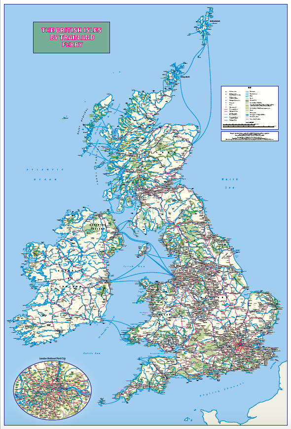
Personalised British Isles by Train and Ferry wall map
This map details the rail network and ferry routes across the British Isles, highlighting National Parks, Areas of Outstanding Natural Beauty, and forest areas.
- The map is designed to be inclusive and accessible for those with color vision deficiency.
Specifications
- Please Select
- Canvas (rolled), Gloss laminated, Laminated and mounted on 5mm Foam-X board, Laminated and mounted on 5mm Foam-X board with wall hangers, Matt laminated, Matt paper, Satin photo paper
AI Readiness
Good foundation, but some important product data is still missing.
84%