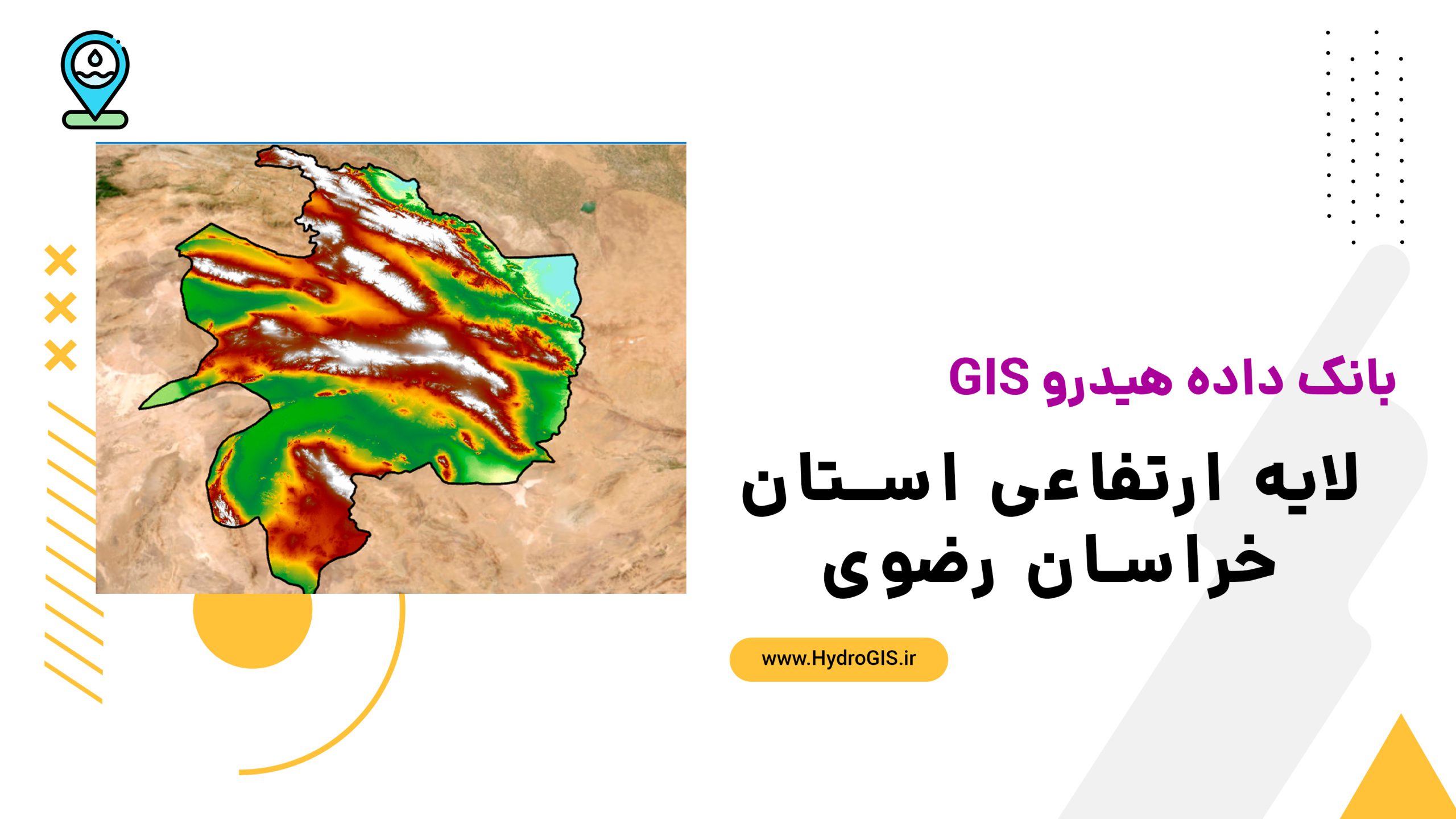
لایه ارتفاعی خراسان رضوی
This product provides detailed elevation data for East Azerbaijan Province, useful for topographical analysis, urban planning, agriculture, and environmental studies.
- The description claims the product is essential for predicting flood paths and managing waterways.
- The description claims the product aids in precise agricultural planning and natural resource management.
- The description claims the product supports urban development and infrastructure planning to avoid geological hazards.
AI Readiness
Good foundation, but some important product data is still missing.
70%