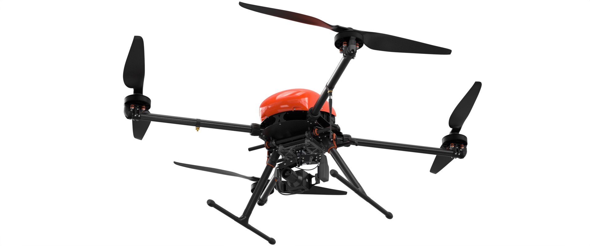
Геоскан 401 Геодезия
This aerial photography system with vertical takeoff and landing can start from a 5m diameter area and work in confined spaces. It is suitable for capturing high structures, terrain with significant elevation changes, and vertical surfaces.
- The description claims that the system can create accurate georeferenced orthophotos and 3D models.