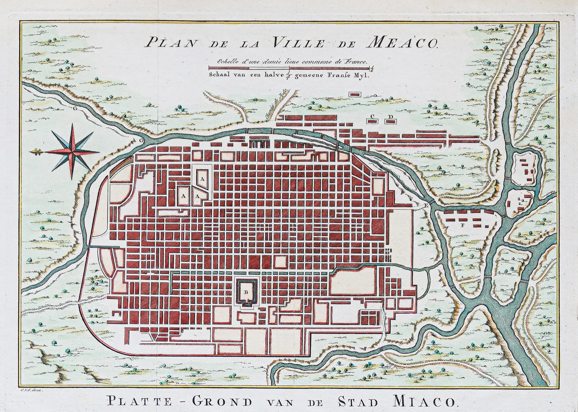
Plan ancien de la ville de Kyoto – Meaco – Japon
An original antique map of the imperial city of Kyoto and its surroundings, created around 1750 by Bellin. The map includes a compass and scale.
- The map represents the city and major residences of both the emperor and shogun.
AI Readiness
Good foundation, but some important product data is still missing.
75%