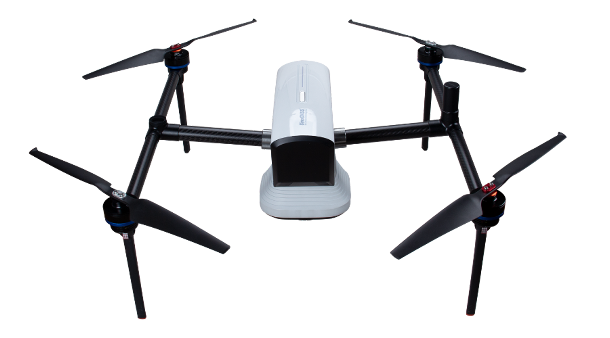
E300 RTK Drone
This UAV solution based on K8 platform offers centimeter-level image positioning with high accuracy, suitable for various applications including terrain surveying, urban construction, forestry investigation, emergency rescue, 3D modeling, mining exploration, etc.
- The description claims the solution provides centimeter-level image positioning accuracy.
- The description claims it supports intelligent path planning with automatic route creation, manual editing, or KML file import.
- The description claims it integrates a high-precision GNSS module for centimeter-level accuracy without GCPs.
How AI sees this product
The more complete this product's details, the more confidently AI assistants can understand and recommend it.
66%