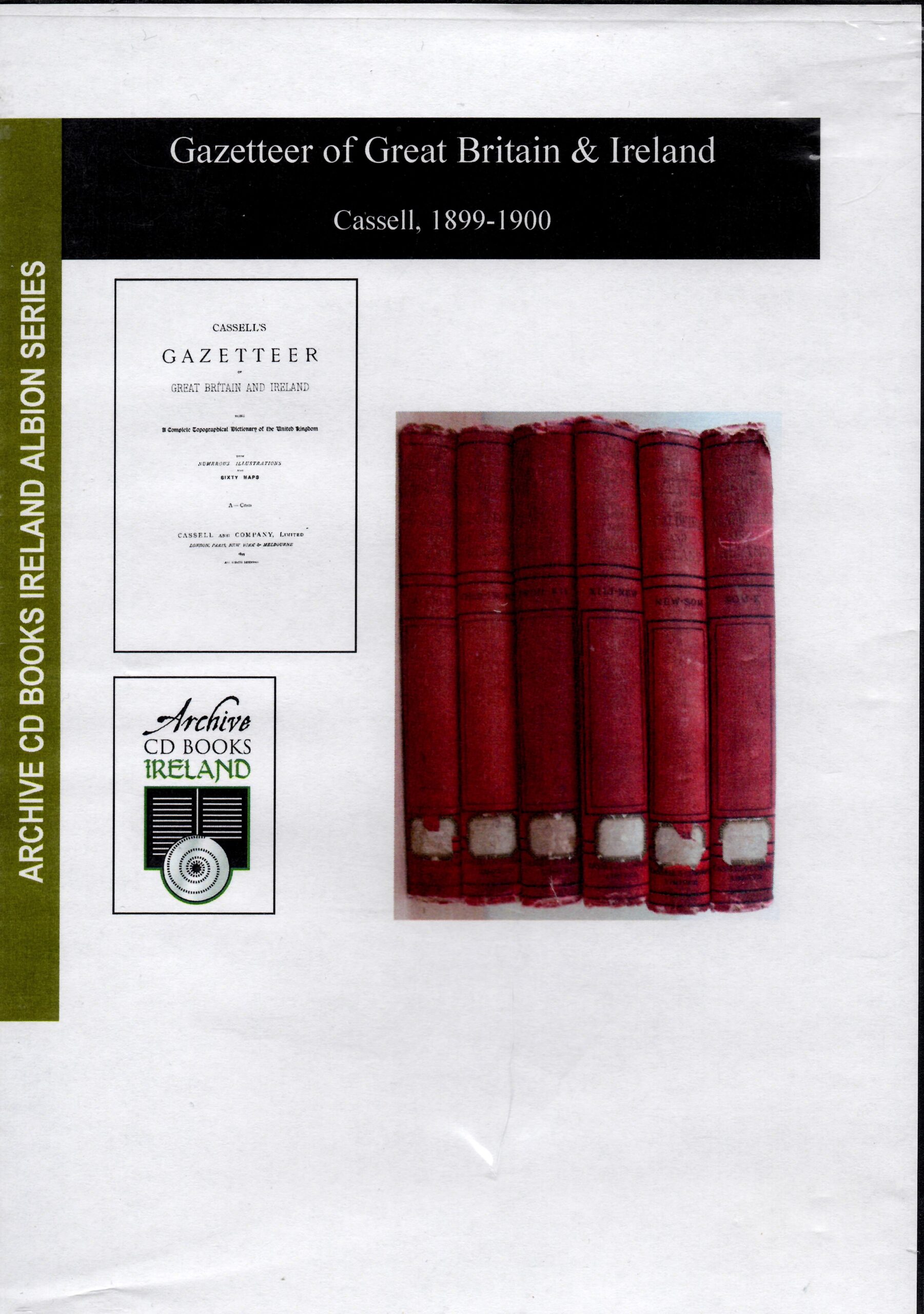
Cassell’s Gazetteer of Great Britain & Ireland 1899-1900
Originally published in 6 volumes of over 3000 pages, 60 cloured maps and many illustrations this CD details every settlement from county to hamlet, and the main geographic and topographic features of the whole of Great Britain and Ireland.
AI Readiness
Good foundation, but some important product data is still missing.
78%