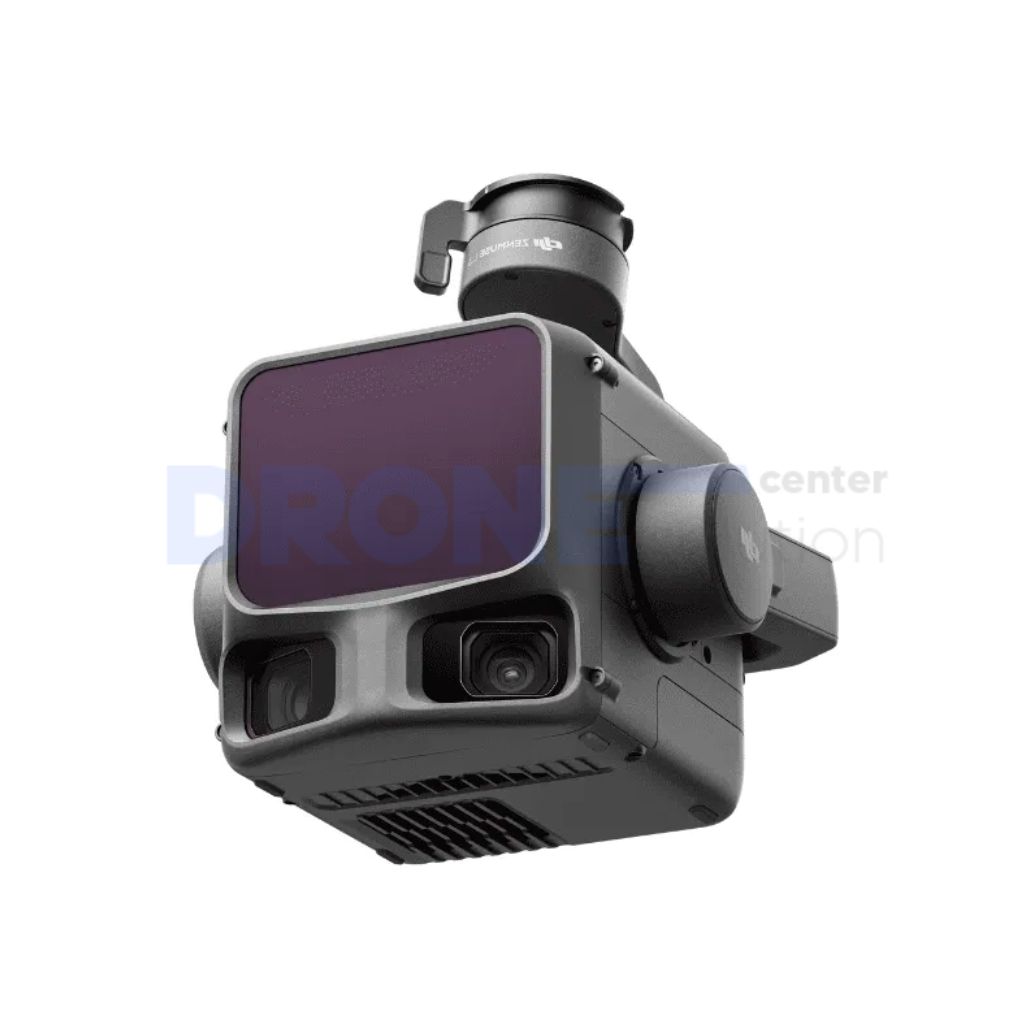
Zenmuse L3
The DJI Zenmuse L3 is a high-precision aerial LiDAR with a range of up to 950 meters, suitable for mapping and surveying tasks.
- The description claims a range of up to 950 meters even with low reflectivity objects.
- The description claims a daily coverage of up to 100 km².
AI Readiness
Good foundation, but some important product data is still missing.
72%