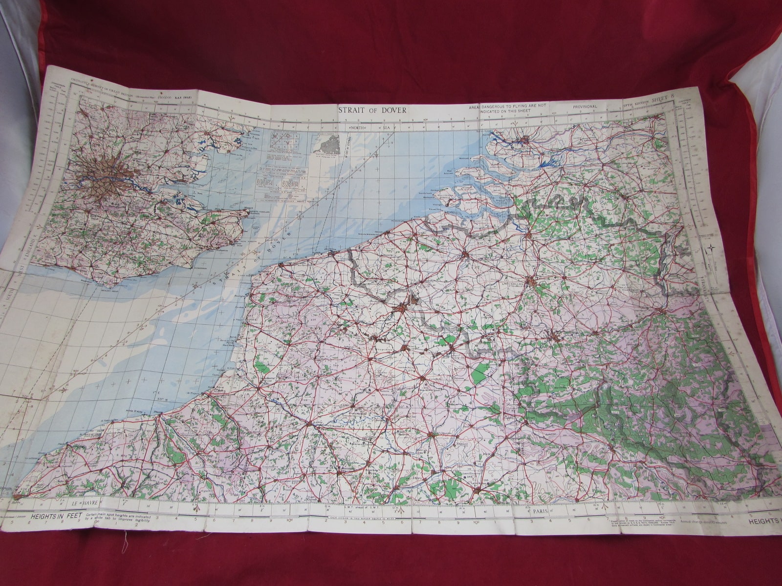
1942 Cloth-Backed Map of the Strait of Dover – WW2 Period
1942 Cloth-Backed Map of the Strait of Dover – WW2 Period This map depicts one of the most strategically important waterways of the war, separating England and France, and central to military planning, naval operations, and coastal defence during the conflict.