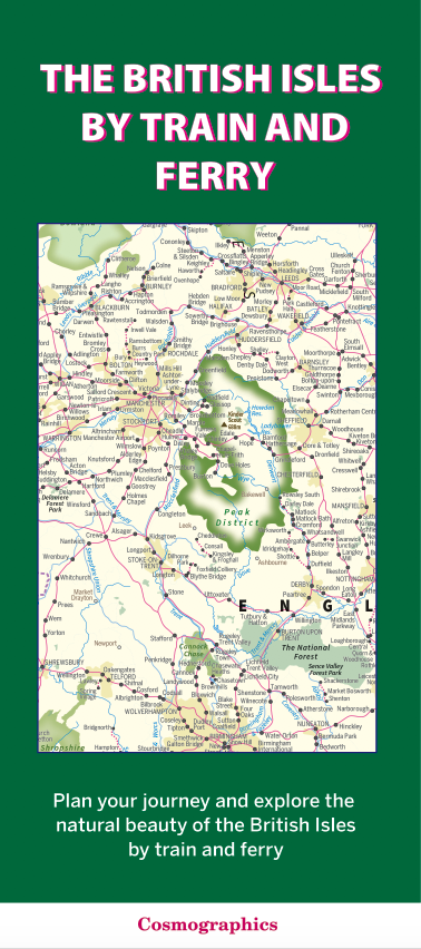
The British Isles by Train and Ferry – folded map (free delivery)
This folded map shows the rail network and ferry routes across the British Isles, highlighting National Parks, Areas of Outstanding Natural Beauty, and forest areas.
- The map includes passenger rail network with the majority of stations.
AI Readiness
Good foundation, but some important product data is still missing.
84%