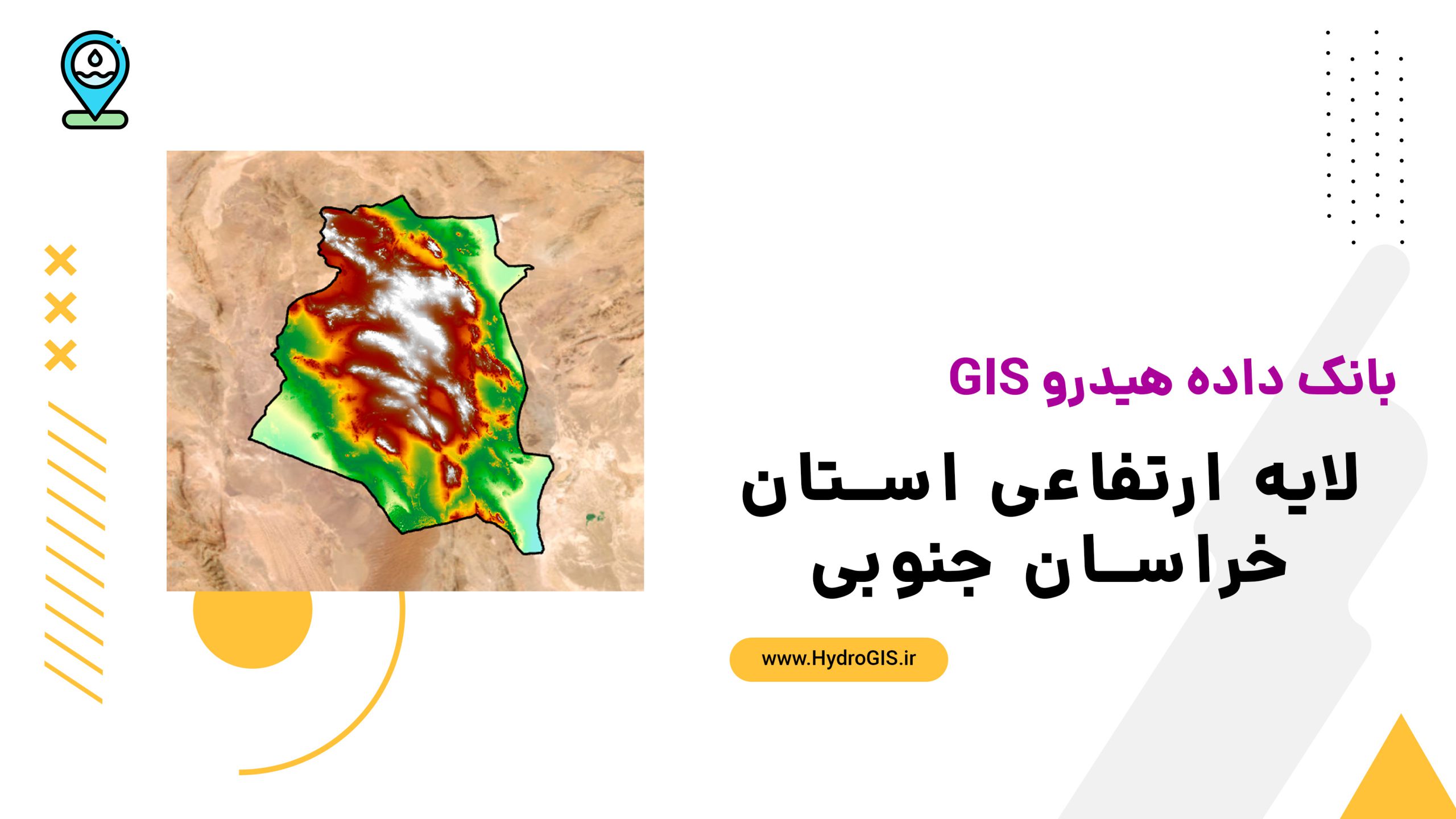
لایه ارتفاعی استان خراسان جنوبی
Layer representing the topography of South Khorasan Province, useful for understanding terrain variations, water resource management, agricultural planning, urban development, vegetation analysis, and road design.
- The description claims that the layer is essential for understanding terrain variations.
AI Readiness
Good foundation, but some important product data is still missing.
70%