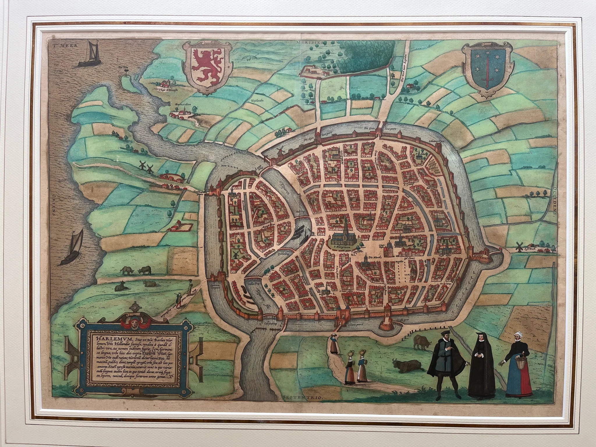
Harlemum
A handcolored map of Haarlem from 1572, part of the Civitates Orbis Terrarum atlas, measuring 34 x 47 cm.
- Collectors appreciate this antique map for its accuracy, decorative quality, and significance within 16th-century cartography.
Specifications
- Artist
- Frans Hogenberg, Georg Braun
- Condition
- Good
- Era
- 16th Century (1500s)
How AI sees this product
The more complete this product's details, the more confidently AI assistants can understand and recommend it.
73%