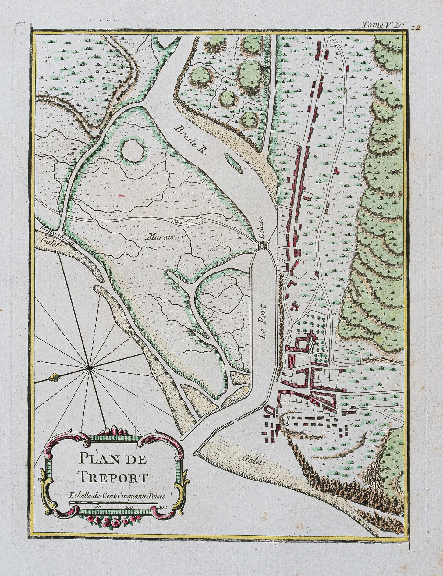
Plan ancien de Tréport – Normandie
An original map from around 1750 by Bellin, hand-colored in watercolors, measuring 33.5 x 25.5 cm in sheet size and 23.5 x 18.5 cm in print size, with light browning in the right margin.
- The description claims the map is original and from around 1750.
AI Readiness
Good foundation, but some important product data is still missing.
75%