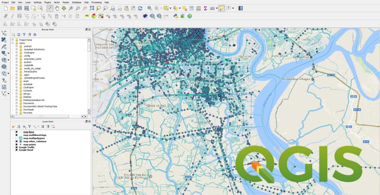
QGIS – Cơ bản
This course teaches how to use QGIS for GIS data work, covering topics like interface familiarity, coordinate systems, data acquisition, vector and raster data manipulation, table data handling, and map and chart creation.
AI Readiness
Good foundation, but some important product data is still missing.
66%