2D Orthomosaic Map Service
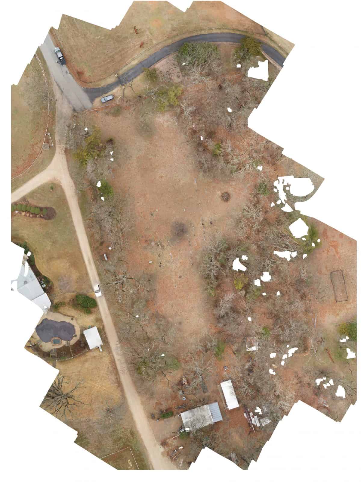
A licensed drone pilot will capture orthomosaic imagery of a specified property.
AI Readiness
Good foundation, but some important product data is still missing.
66%
A licensed drone pilot will capture orthomosaic imagery of a specified property.
Good foundation, but some important product data is still missing.