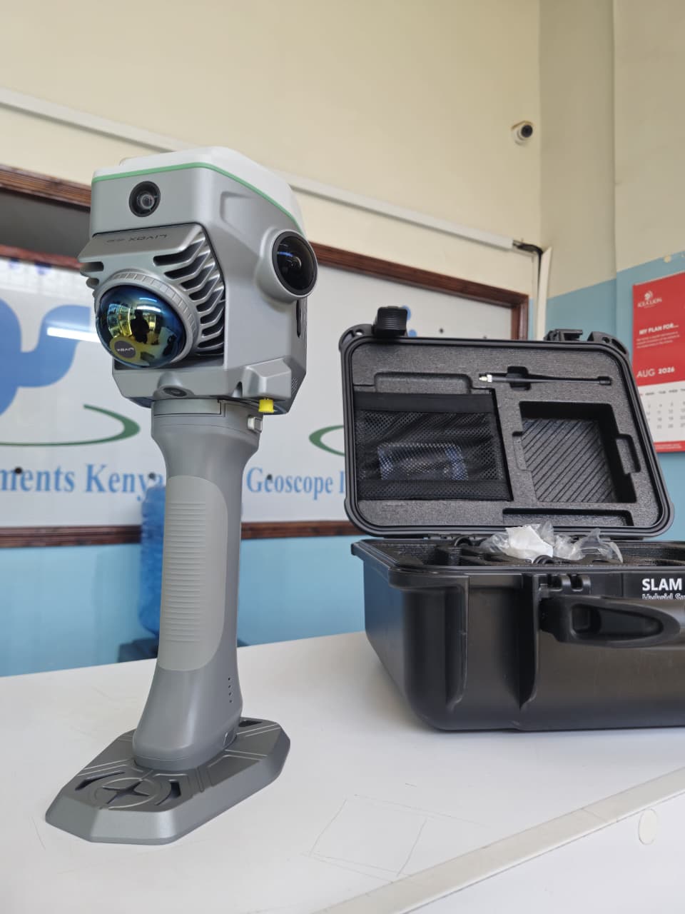
GNSS RTK Hybrid Supreme ME
SOUTH GNSS RTK Hybrid Supreme ME is an advanced hybrid surveying solution that combines high-precision GNSS RTK, SLAM LiDAR, visual positioning and IMU technology in a single compact system. Designed for modern surveying, construction, road projects, mapping and 3D data collection, the ME allows surveyors to work efficiently even in areas where conventional GNSS surveying becomes difficult.
How AI sees this product
The more complete this product's details, the more confidently AI assistants can understand and recommend it.
72%