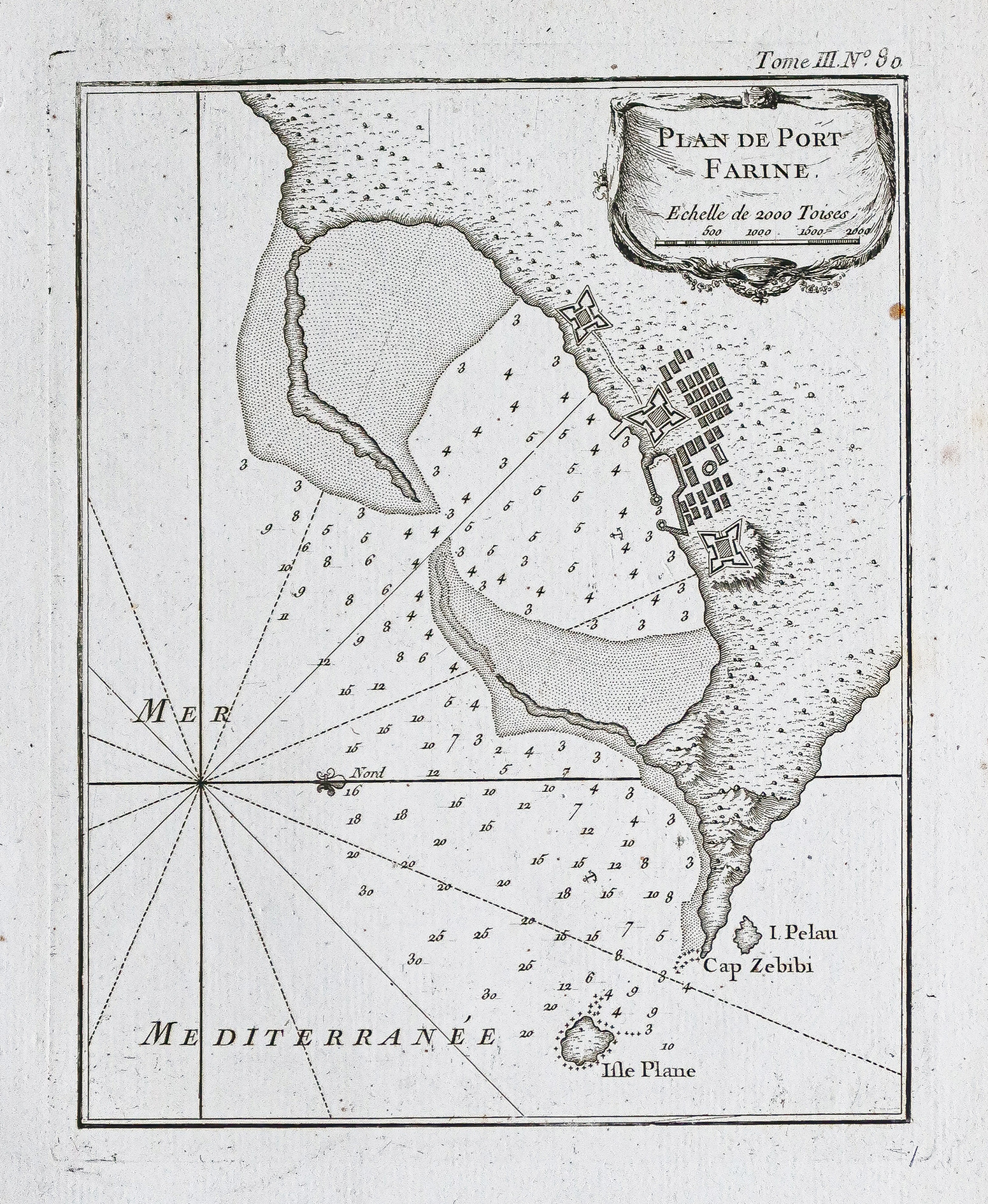
Plan ancien de Ghar El Melh – Tunisie
An original antique map from around 1750 detailing Ghar El Melh, a coastal town in northeast Tunisia, with navigational aids and hazards.
- The description claims the map provides essential information for 18th-century maritime navigation.
AI Readiness
Good foundation, but some important product data is still missing.
75%