Professional 2D Orthomosaic Map Service
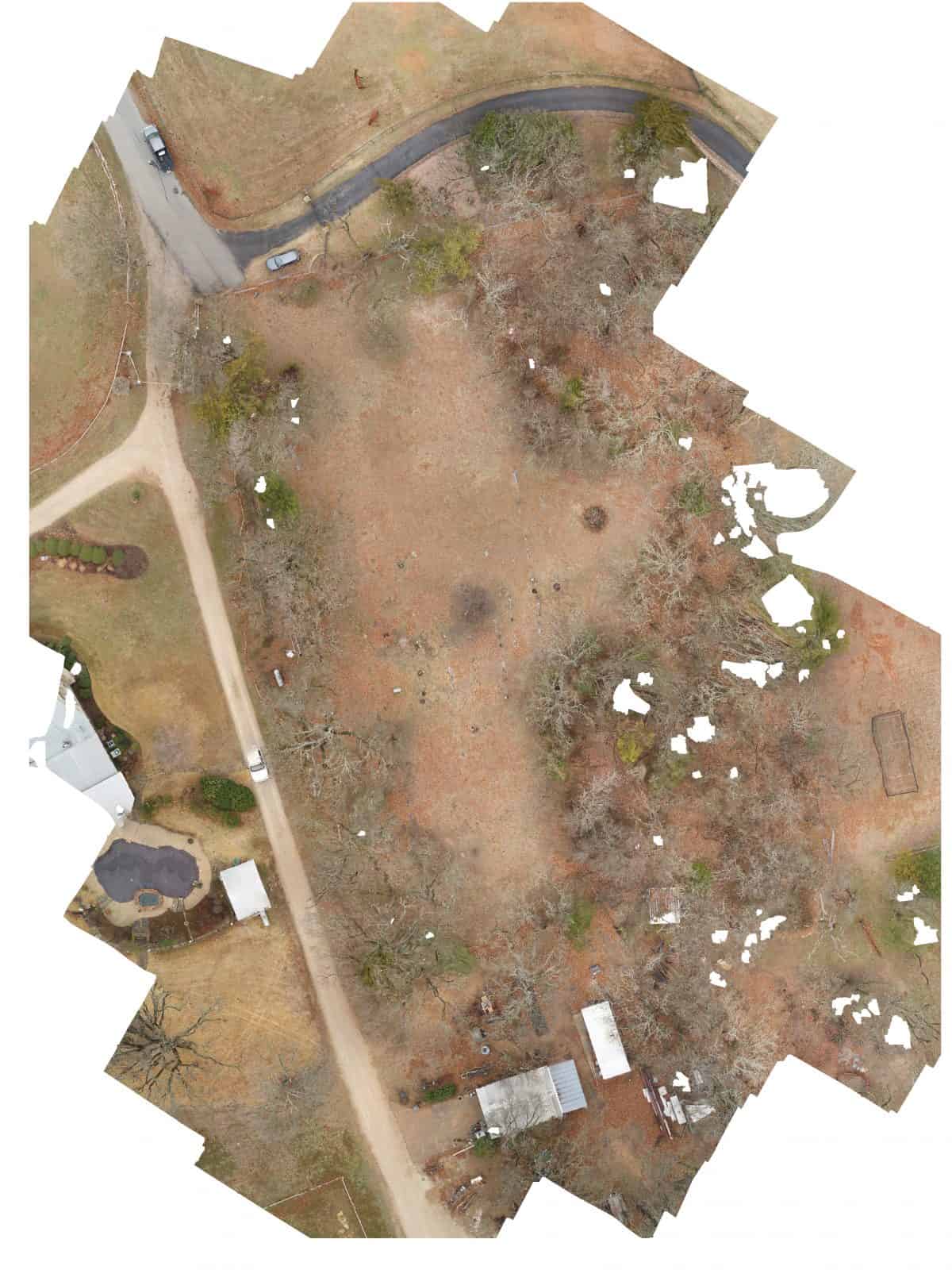
This service provides aerial orthomosaic maps of properties up to 10 acres, captured at 350-400 ft AGL, delivered via Dronedeploy files and a Dropbox link.
- The description claims the service captures images at 350-400 ft AGL.
AI Readiness
Good foundation, but some important product data is still missing.
70%