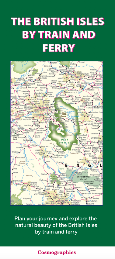
The British Isles by Train and Ferry map and Road map of England and Wales in the Late Middle Ages c.1450 – 1500 (folded maps)
This folded map covers the British Isles by train and ferry, showing rail and ferry networks, natural beauty areas, and is accessible for people with color vision deficiency.
- The map includes passenger rail network with most stations, seasonal and heritage railways, ferry routes, National Parks, Areas of Outstanding Natural Beauty, main forest and woodland areas, and heritage coast in England and Wales.
AI Readiness
Good foundation, but some important product data is still missing.
84%