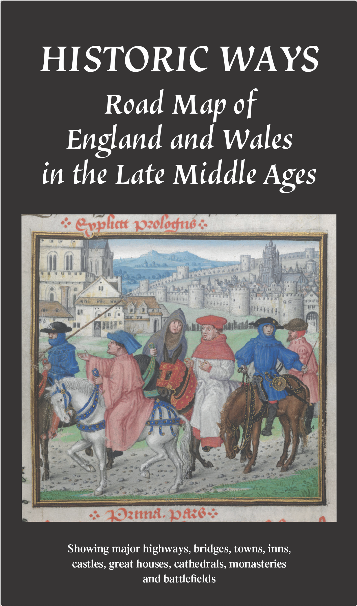
Road map of England and Wales in the Late Middle Ages c.1450 – 1500 (folded map)
This map depicts England and Wales during the Late Middle Ages, showing major roads, towns, castles, and other landmarks from around 1450-1500. It includes detailed information on the reverse side.
AI Readiness
Good foundation, but some important product data is still missing.
84%