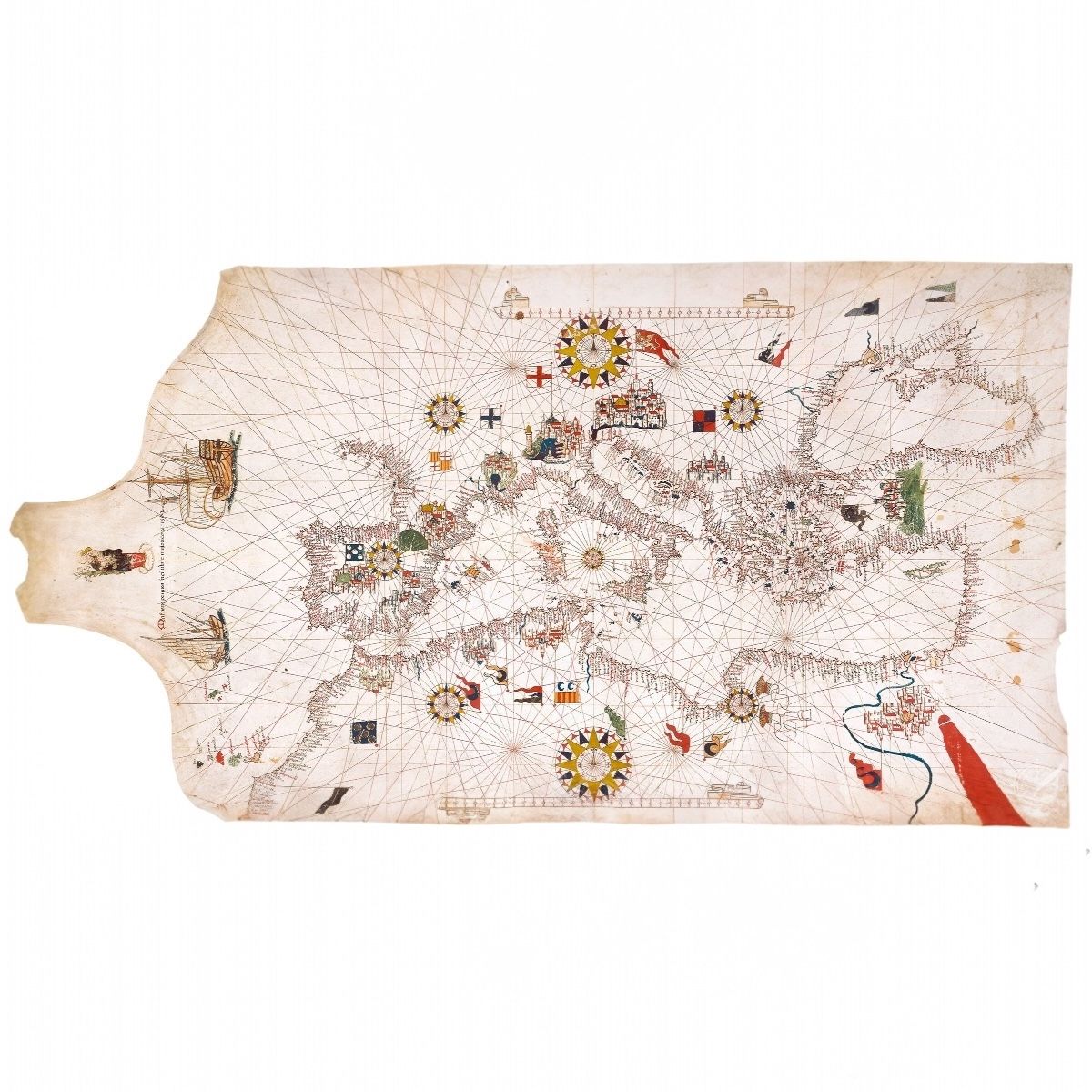
FACSIMIL PORTULANO MATEO PRUNES
This 1563 portolan chart by Mateo Prunes depicts the Mediterranean, southern Europe, northern Africa, the Black Sea, and parts of the eastern Atlantic, measuring 53 × 98 cm on parchment.
- Represents the coastlines of the Mediterranean, Atlantic up to northern Brest, and the Black Sea with abundant place names.
How AI sees this product
The more complete this product's details, the more confidently AI assistants can understand and recommend it.
81%