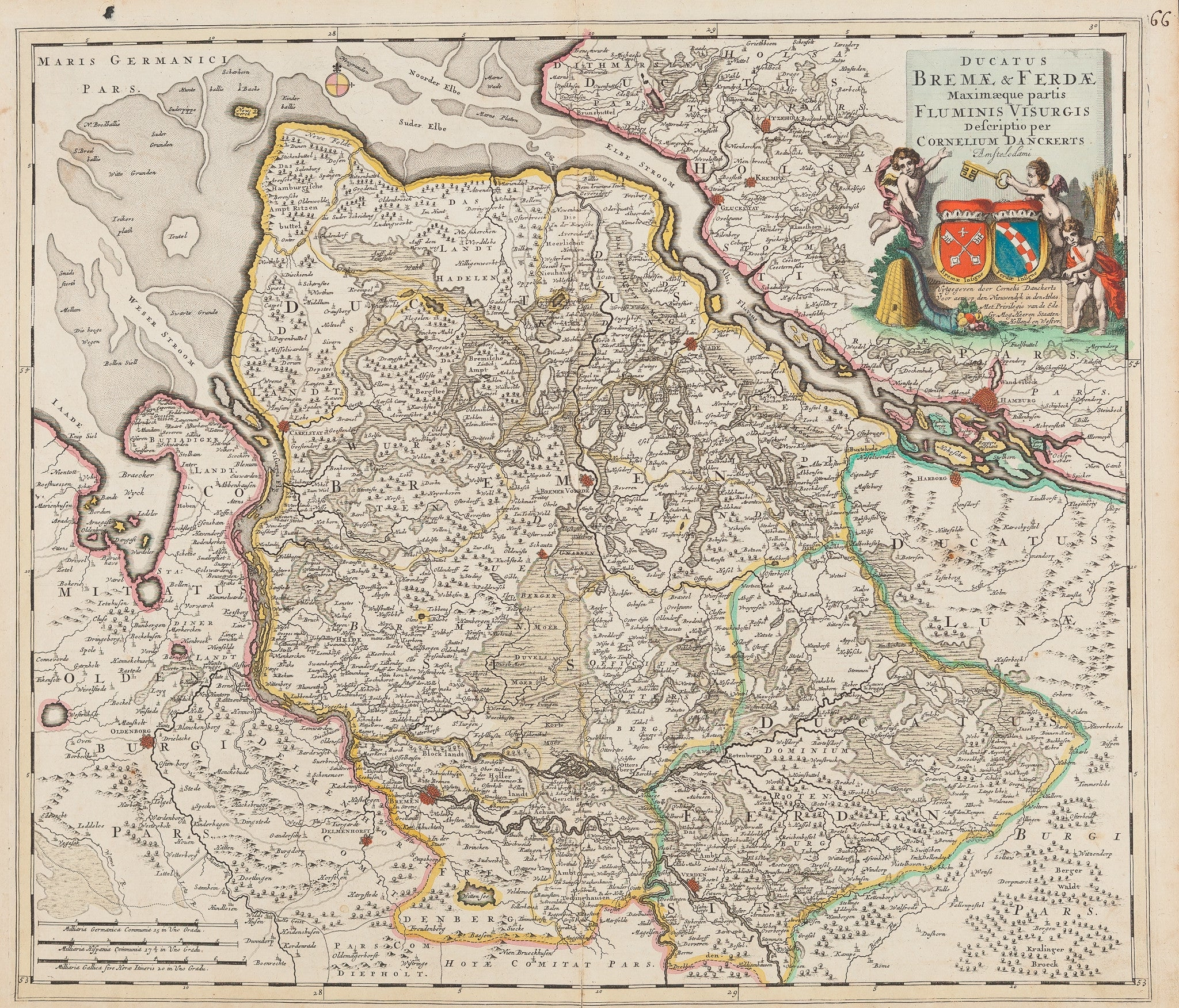
Ducatus Bremae & Ferdae- Map of Bremen region
Ducatus Bremae & Ferdae Maximaeque Partis Fluminis Visurgis Descriptio is a detailed handcoloured map by Cornelis Danckerts. Published in Amsterdam in 1696, this engraving depicts the region of Bremen and Werder in northern Germany. The fine colouring and harmonious layout reflect Danckerts’ precise cartographic style and the Dutch Golden Age of mapmaking. This antique map of Bremen measures 49.5 x 57 cm and is in very good condition. The original colours remain bright and enhance the engraved features and elegant cartouche. Collectors value this antique map of Bremen for its historical accuracy, balanced composition, and craftsmanship. VAT: Margingoods, no VAT. Explore all our City Views and antique map collection at our store located in the historic heart of Haarlem.
Specifications
- Artist
- Cornelis Danckert
- Condition
- Very Good
- Era
- 17th Century (1600s)
How AI sees this product
The more complete this product's details, the more confidently AI assistants can understand and recommend it.