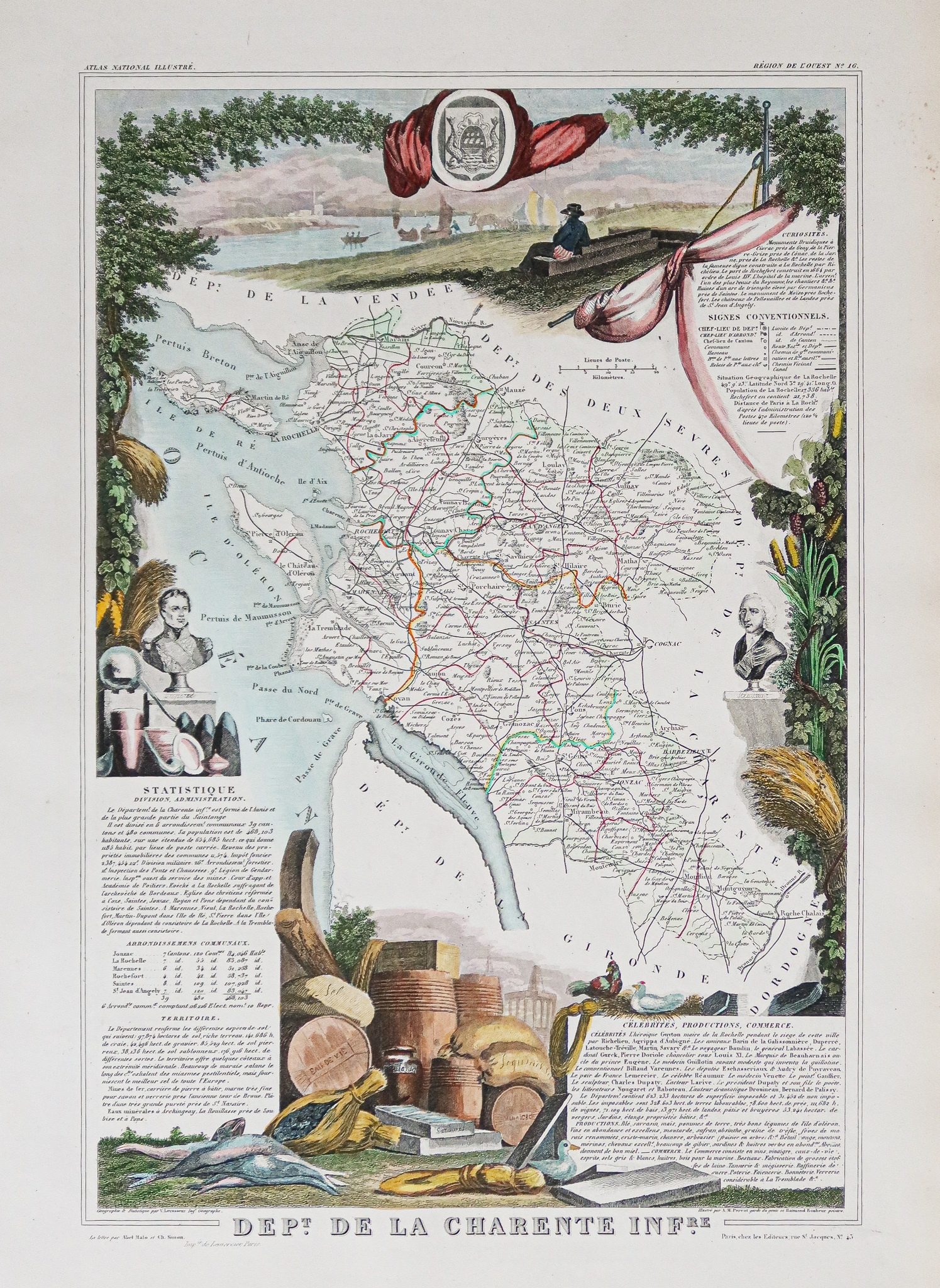
Carte ancienne – département de la Charente Maritime
A 19th-century original engraved map from 1860, featuring watercolor colors and measuring 53.5 x 36 cm.
- The description claims this is a famous edition from the mid-19th century.
AI Readiness
Good foundation, but some important product data is still missing.
75%