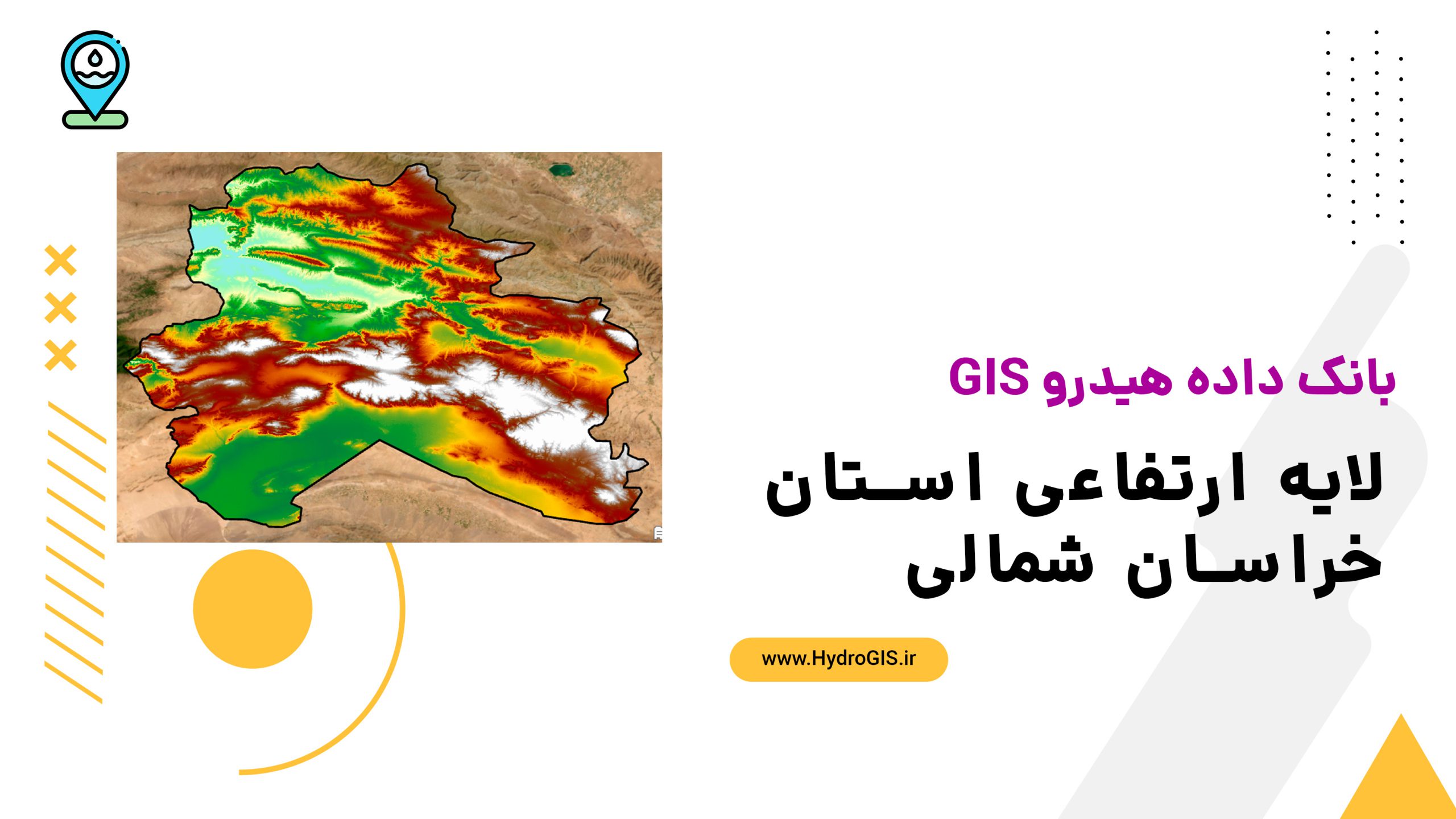
لایه ارتفاعی خراسان شمالی
This digital elevation model provides detailed topographic analysis of North Khorasan province, useful for natural and human studies, water resource management, agriculture support, urban and rural development planning, and ecological research.
- The description claims that the digital elevation model is useful for natural and human studies.
- The description claims that it can be used for water resource management and reducing flood risks.
- The description claims that it aids in identifying suitable areas for agriculture, horticulture, and animal husbandry based on slope and elevation.
- The description claims that it helps in selecting safe locations for construction, road design, and rural development, including identifying landslide-prone areas.
- The description claims that it is valuable for analyzing diverse ecosystems and local climate conditions in North Khorasan province.
AI Readiness
Good foundation, but some important product data is still missing.
70%