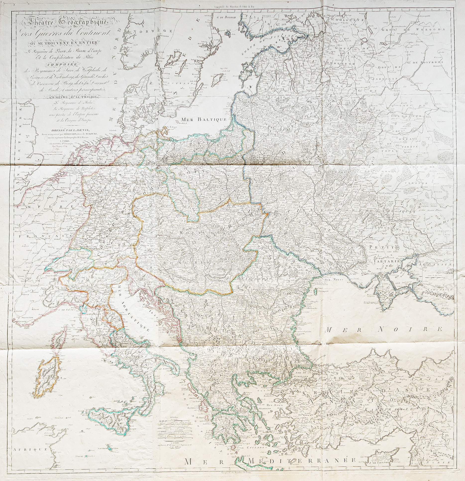
Carte ancienne du théâtre des Guerres
A large wall map from 1812 depicting European territories involved in Napoleonic wars, measuring 127.5 x 122 cm.
- The description claims this map provides a geopolitical overview of Europe at the beginning of the 19th century.
AI Readiness
Good foundation, but some important product data is still missing.
78%