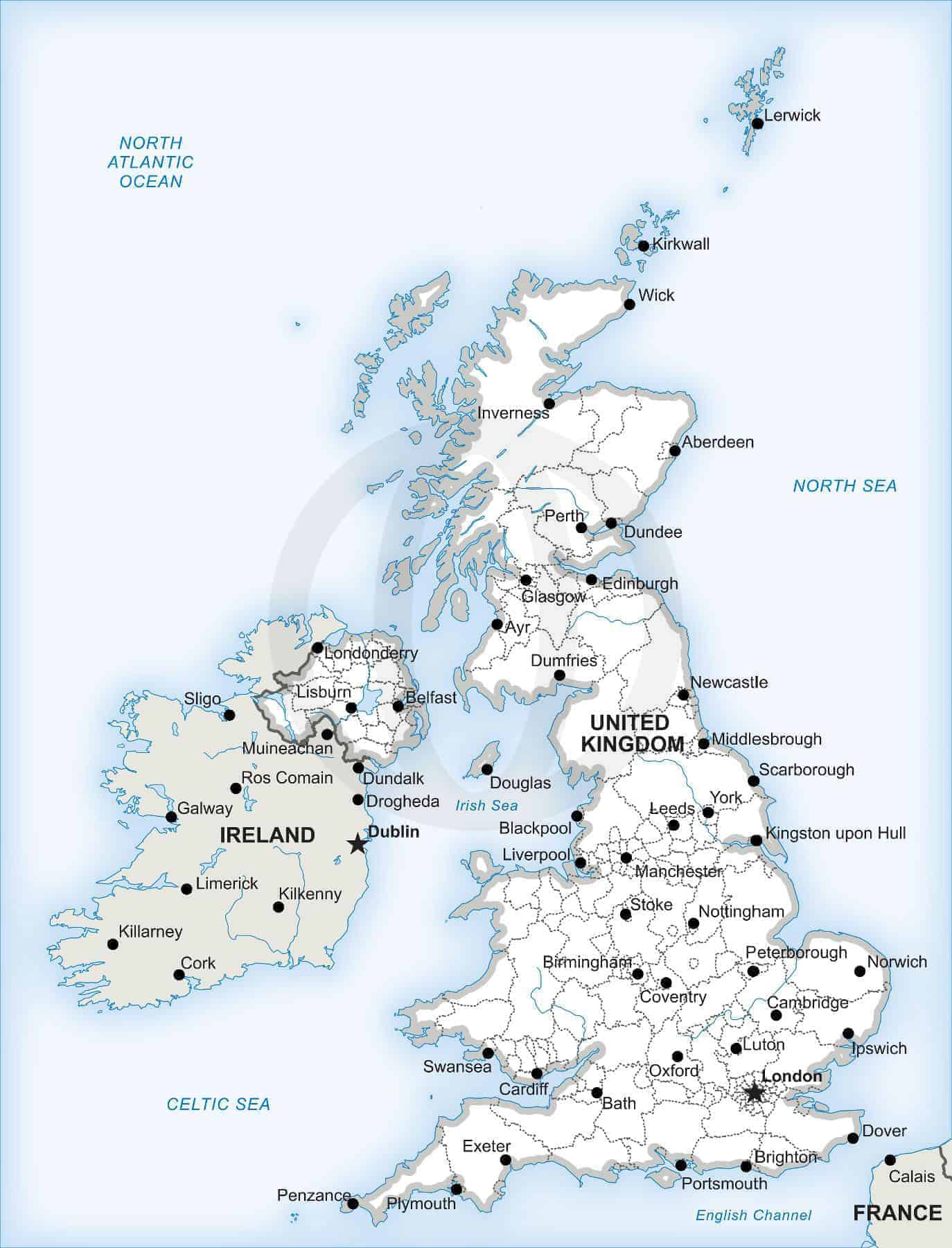
Map of the British Isles
A printable and editable vector map of the British Isles, including the UK and Ireland, showing political boundaries, capitals, major cities, and major rivers.
Specifications
- Dimension JPEG
- 20 in (60 cm) wide - 300 dpi
- Dimension Vector
- 7 x 6 in (18 x 14 cm) - scalable to any size you want
- Layers
- City point, Coastline, Country area, Country boundary line, Frame, Lake, Legend, Main country boundary line, Name city, Name country, Name physical, River, Sea area, State-province area, State-province boundary line, Unit boundary line
How AI sees this product
The more complete this product's details, the more confidently AI assistants can understand and recommend it.
72%