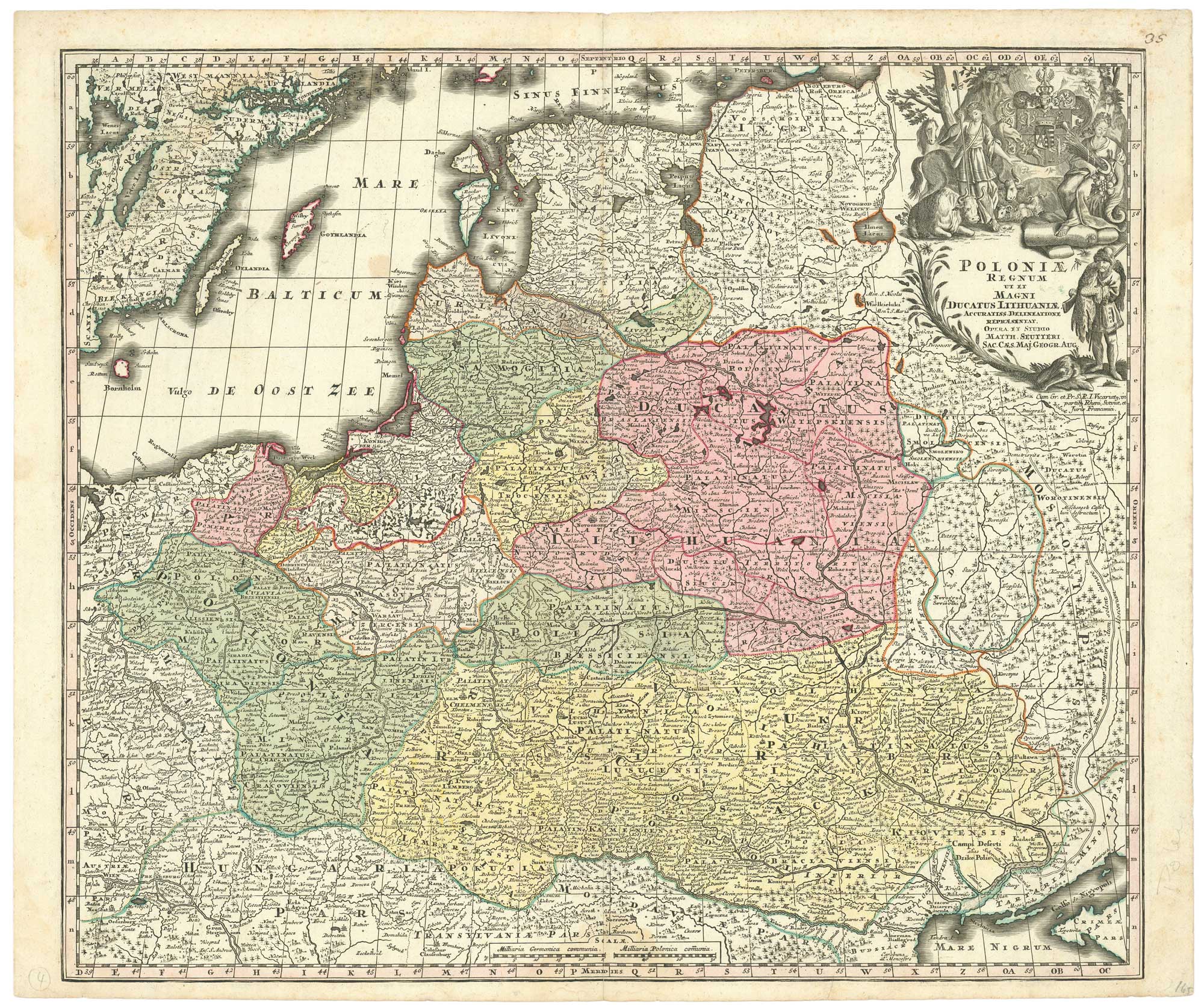
18th century map of the Polish-Lithuanian Commonwealth
Poloniae Regnum ut et Magni Ducatus Lithuaniae Accuratiss Delineatione Repraesentat.
Specifications
- Cartographer
- SEUTTER, Matthaus.
- Date
- 1735
How AI sees this product
The more complete this product's details, the more confidently AI assistants can understand and recommend it.
69%