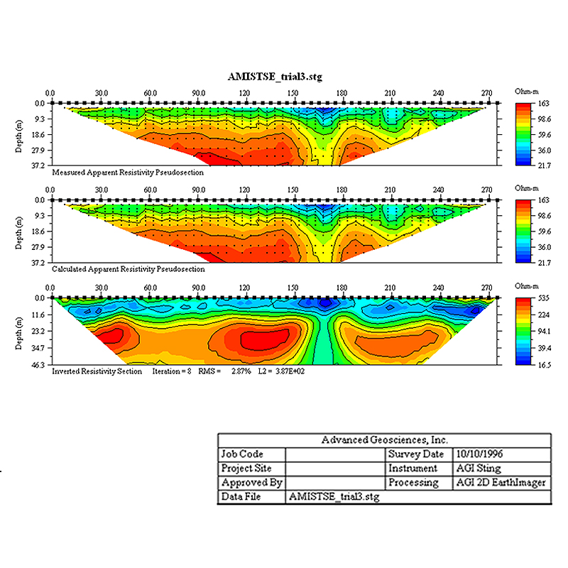
AGI EarthImager™ 2D
AGI EarthImager™ 2D is software for processing resistivity and IP data collected by SuperSting™ Wi-Fi instruments into 2D cross-sections of the earth.
- The software can process data from various electrode arrays.
- It includes a Survey Planner for virtual surveys.
How AI sees this product
The more complete this product's details, the more confidently AI assistants can understand and recommend it.
66%