Геоскан 201 Геодезия
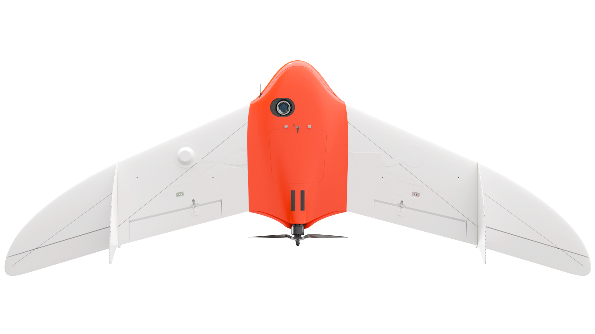
This aerial photography kit can fly for up to 3 hours and covers up to 80 square kilometers per day, with georeferencing accuracy suitable for a 1:500 scale. It includes a geodetic GNSS receiver for precise coordinate data.
- The description claims that the kit can cover up to 80 square kilometers per day.
- The description claims georeferencing accuracy suitable for a 1:500 scale.
- The description claims the inclusion of a geodetic GNSS receiver.