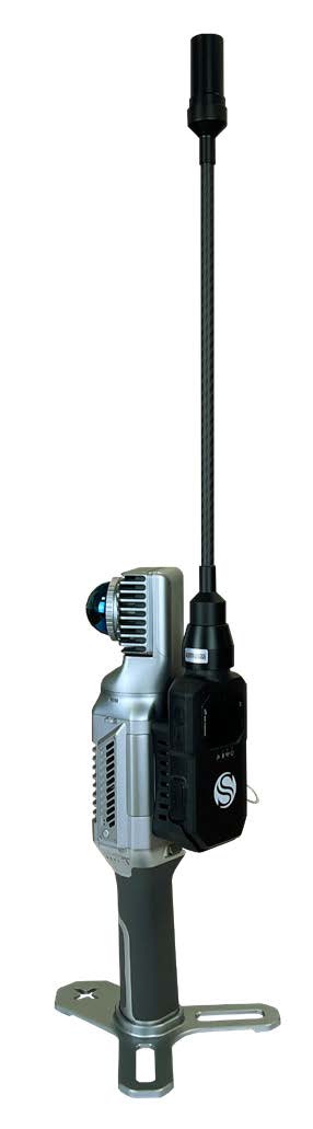
RTK MODULE
There are several reasons why the RTK module is worth using. First, it places your point cloud in a global coordinate system, but it can also be useful in large surveys to improve the composition of the final 3D model. Indeed, RTK module can help the system, adding GNSS info to LIDAR and IMU. If the GPS does not have a satellite connection, such as indoors, the system will rely on LIDAR and IMU to locate itself.